"Half the park is after dark." In the summer, with temperatures exceeding 100 degrees during the day, the cool night air is welcome and you can watch the night sky come alive, and hear to the nocturnal animals waking up.
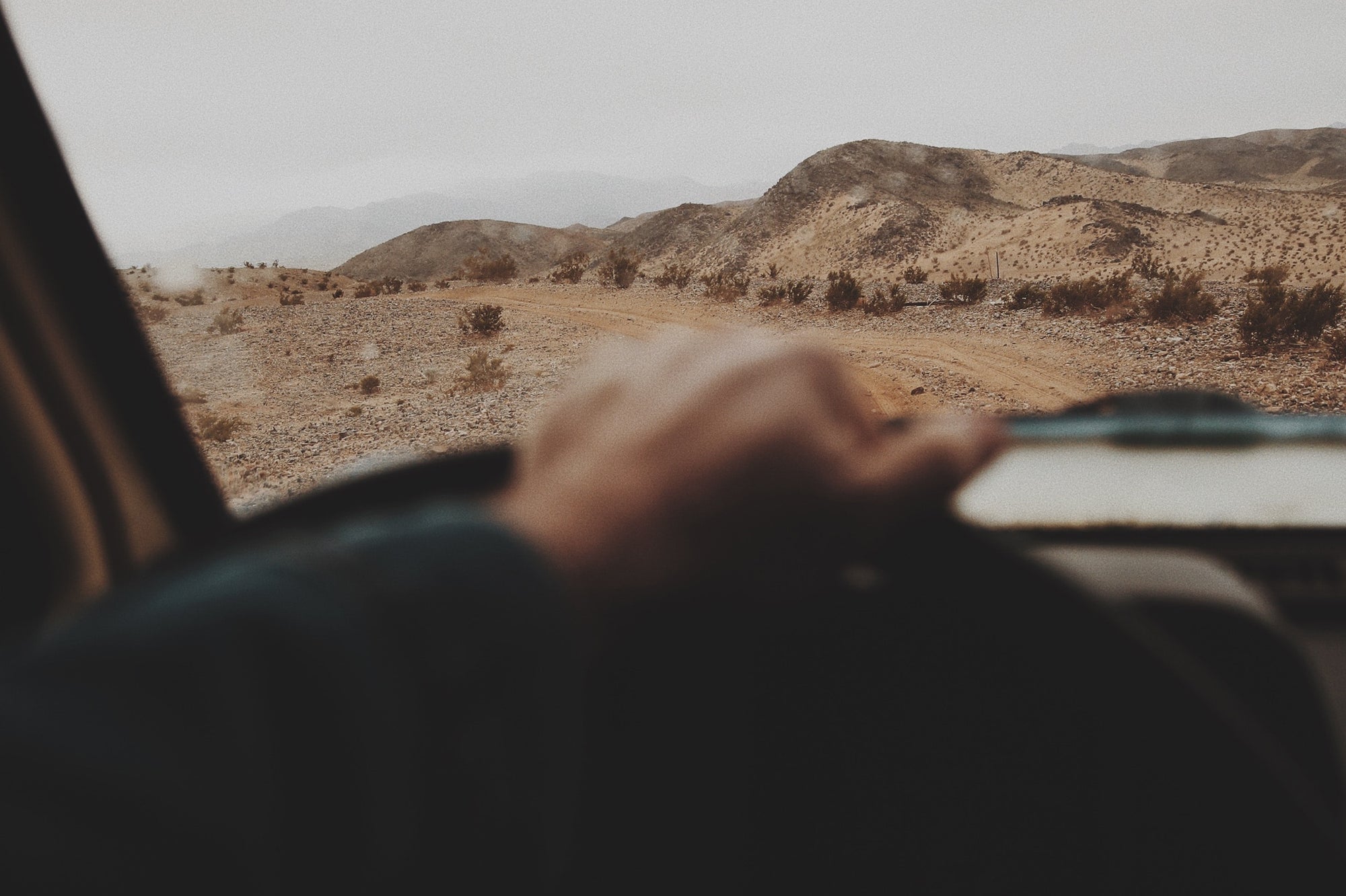
Do not rely on GPS to get to or around Joshua Tree National Park. They'll try to route you onto backcountry roads with ruts and soft sand. You can get to Joshua Tree from I-10 or CA-62. The closest airport is in Palm Springs. Public transportation to the park is limited. Check the Morongo Basin Transit Authority website for details.
Joshua Tree is a census-designated place (CDP) in San Bernardino County, California, United States. The population was 7,414 at the 2010 census. At approximately 2,700 feet (820 meters) above sea level, Joshua Tree and its surrounding communities are located in the High Desert of California. The center of the business district in Joshua Tree is on California State Route 62.
Joshua Tree is located in the Mojave Desert at 34°8′N 116°19′W.
According to the United States Census Bureau, the CDP has a total all land area of 95.9 km² (37.0 mi²). Joshua Tree, California is home to Joshua Tree National Park. Joshua Tree shares the border to its east with Twentynine Palms, California, its western border with Yucca Valley, California, its northwestern border with Landers, California, and its southern border is Coachella Valley, California.